
 Details and Pictures as below.
 Section 1 trail's map
- warming up section
- approximately 15 km including one big hill
- 80% canopy
- 80% canopy
- 6 km tarmac and 9 km offroad
- roller coaster ride and breathtaking downhill
- check point/water point/banana point 1 location
- picture as below
- roller coaster ride and breathtaking downhill
- check point/water point/banana point 1 location
- picture as below
 section 1: pic 1
 section 1: pic 2
 section 1: pic 3
 section 1: pic 4
 section 1: pic 5
 section 1: pic 6
 section 1: pic 7
 section 1: pic 8
 Section 2 trail's map
- tough section
- approximately 15 km including 3 hills
- 80% open
- technical uphills and downhills
- check point/water point/banana point 2 location
- picture as below
- picture as below
 pic 1:section 2
 pic 2:section 2
 pic 3:section 2
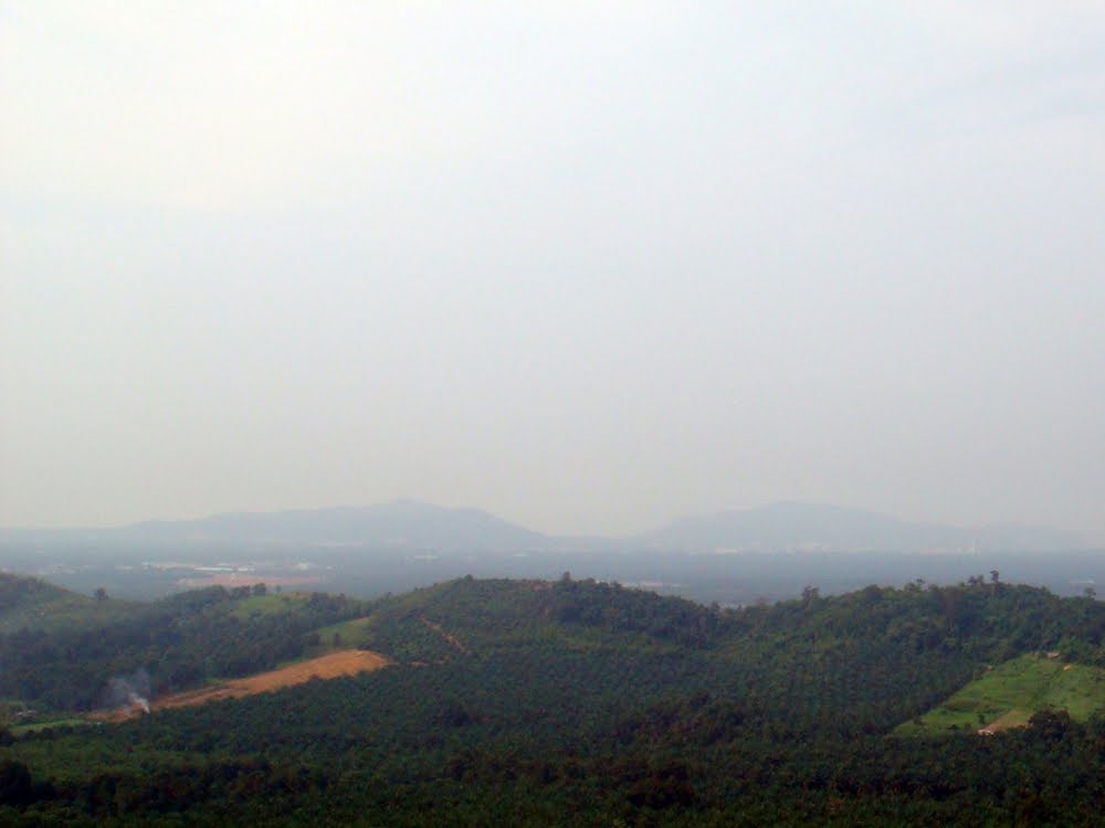 pic 4:section 2
 pic 5:section 2
 pic 6:section 2
 pic 7:section 2
 Section 3 trail's map
- refreshing section
- approximately 10 km
- downhill singletrack(pic 5 to pic 13)
- check point/water point/watermelon point 3 location
- picture as below
 pic 1:section 3
 pic 2:section 3
 pic 3:section 3
 pic 4:section 3
 pic 5:section 3
 pic 6:section 3
 pic 7:section 3
 pic 8:section 3
 pic 9:section 3
 pic 10:section 3
 pic 11:section 3
 pic 12:section 3
 pic 13:section 3
Regards,
Shaiffol NBC


No comments:
Post a Comment